|
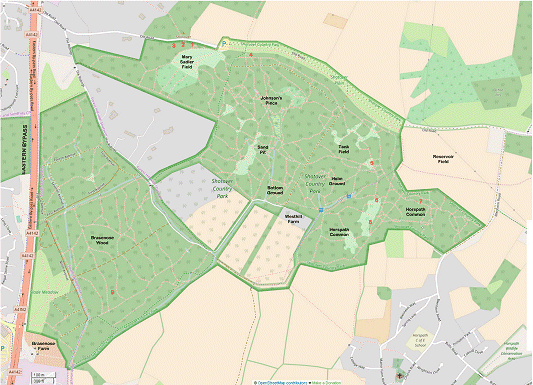
This overall plan shows the complete Shotover Country Park.
Click any location on this plan to display a magnified view of the park, centered around the place you clicked. The red numbers on the plan each represent the position of an identified memorial. Clicking any of these on the magnified view, will take you to the detailed page for that memorial.
|
The underlying map is copyright © OpenStreetMap contributors and made available under the Open Database Licence